
TPWD – Christmas Bay Paddling Trail
TPWD – Christmas Bay Paddling Trail
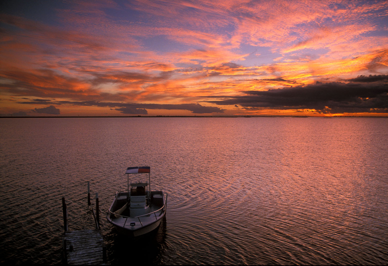
Christmas Bay Paddling Trail is a 19.1-mile circumnavigation of this pristine minor bay on the western end of the Galveston Bay complex. Easily accessible from the Houston metropolitan area, the Christmas Bay Paddling Trail offers popular, shorter loops of 3.8 and 10.3 miles with outstanding coastal angling and bird watching opportunities.
Getting There
From the East via Galveston:
– Take I-45 South from Houston to Galveston and take the 61st Street exit.
– Turn right (South) on 61st Street and travel until the road “T”’s into Seawall Blvd.
– Turn right (West) on Seawall Blvd.(becomes Hwy 3005) and proceed to the San Luis Pass Toll Bridge
– Cross toll bridge (road becomes Bluewater Hwy 257) travel 4 miles to what was once Ernie’s Too
– Turn right (across from condominiums), and drive down to the boat ramp.
From the West via Surfside:
– Take I-288 South through Lake Jackson.
– Turn left on Rt 332 towards the Gulf across the bridge over the Intracoastal way Waterway.
– Turn left on Bluewater Hwy (257) at the light and follow for about 11 miles.
– Turn left at sign for Ernie’s Too (across from condominiums), and drive down to the water.
Put-in and Take-out:
Former Site of Ernie’s Too Bait Camp (bait camp no longer open)
515 Amigo Ln, Freeport, TX 77541, US
979-233-5159
Trail marker sign is located near the boat ramp and the coordinates are:
GPS 29° 02′ 56.040″ N, 95° 09′ 56.232″ W
San Luis County Park
14001 CR 257 Freeport, TX 77541
979-233-6026
(Located on the right side of Bluewater Hwy 257- turn right after you cross the San Luis Bridge and follow the dirt road down to the park and boat dock.)
GPS 29° 04′ 43.0″ N, 95° 07′ 50.0″ W
Color Satellite map of Christmas Bay. Click to view PDF media download(PDF 88.1 KB).This map is also available in a durable laminated version from select retailers. To get a list of these retailers contact Shoreline Publishing at 713-973-1627.
Trail Description and Landmarks
Trail Length: 19.1 miles with shorter loops
Paddling Time: 2 hours to all day
Christmas Bay is a shallow 4,173 acre embayment in the southwestern portion of the Galveston Bay system. The bay has good water quality, extensive oyster reefs, and fringing salt marsh habitat consisting of Spartina alterniflora, Batis maritima, and other species, and has not yet been greatly altered by human activity. The northern shore of the bay is home to the 42,000-acre Brazoria National Wildlife Refuge.
The paddling trail is marked by 29 numbered GPS markers and includes routes along Churchill Bayou and Titlum Tatlum Bayou. Total trail length is 19.1 miles. Popular shorter routes include marker sequence: 1, 2, 22, 21, 20, 18, 17, 7, 6, 5, 4, 3, 2, 1 for a distance of 3.8 miles, and marker sequence: 1, 23, 24, 25, 26, 27, 28, 29, 10, 9, 3, 2, 1 for a total of 10.3 miles. (See maps section for location of points.)
Safety
For Christmas Bay, take plenty of sunscreen, water and insect repellent. If wadefishing, wear ray-proof wading boots or shuffle your feet carefully to avoid a stingray strike. Christmas Bay is very shallow and most paddlers can comfortably stand in its waters in most areas. Power boat traffic on this body of water is minimal.
Fishing
Anglers will enjoy fishing for spotted seatrout, red drum and flounder, and much of the shallow bay features a bottom firm enough to wade.
Wildlife and Ecology
The bay supports a higher diversity of finfish than any other portion of the Galveston Bay estuary and has been designated a nursery area and a Coastal Preserve by TPWD. On the preserve, the Texas quahog (Mercenaria texana), an edible species of hard clam, inhabits the shallow-water perimeters. The area is home to migratory and resident waterfowl and shorebirds. Stands of cordgrass provide feeding and nesting habitat for waterbirds, and extensive oyster reefs are found in the bay.
Maps
Color Satellite map of Christmas Bay. Click to view PDF
https://tpwd.texas.gov/fishboat/boat/paddlingtrails/coastal/media/topomap_christmasbay.pdf
Global Positioning System (GPS) points for Christmas Bay
https://tpwd.texas.gov/fishboat/boat/paddlingtrails/coastal/christmas_bay/gps.phtml


